http://www.geo.mtu.edu/volcanoes/fuego/topoair2.html
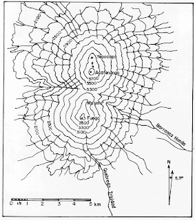
Above is a topographic map of twin volcanoes named Fuego and Acatenango; which are located in

http://www.geo.mtu.edu/volcanoes/fuego/topoair2.html
Above is a topographic map of twin volcanoes named Fuego and Acatenango; which are located in

No comments:
Post a Comment