http://iodeweb5.vliz.be/oceanteacher/resources/other/GISModules/Module_h/module_h2.html
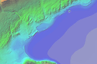
Hypsometric maps are a form of topographic map. Similar to topographic maps, hypsometric maps show changes in elevation; however, the difference being that hypsometric uses color to denote changes, whereas, topographic maps use lines.

No comments:
Post a Comment