erg.usgs.gov/nimamaps/topo.html
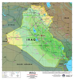
The purpose of a planimetric map, such as this map of Iraq is to demonstrate the actual horizontal relationships between features. These maps should have a scale to measure the distance between features. Vertical information of features shown on planimetric maps is intentionally not shown.


No comments:
Post a Comment